Scroll Top

Visit

Your guide to the Elizabeth River Trail

Come explore the Elizabeth River trail

The ERT runs 10.5 miles and connects businesses, historic attractions and 28 neighborhoods within a five-minute walk. The multi-use trail is designed for walking, running and biking and is suitable for all ages. Pets are welcome.

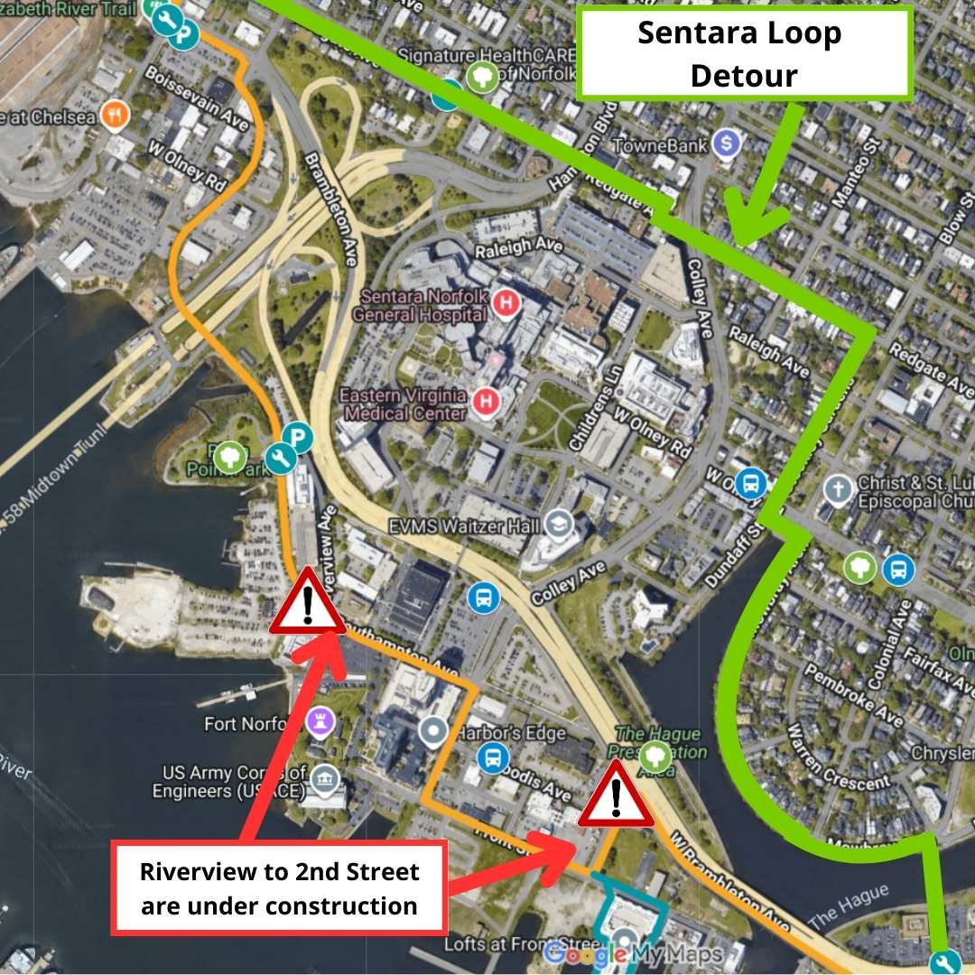
The trail comprises 11 sections and 11 trailheads from Norfolk State University to NIT Terminals along the Elizabeth River. Highlights include Harbor Park, Downtown Norfolk, Freemason Historic District, Sentara campus, Fort Norfolk, Chelsea, West Ghent, Lambert’s Point, Old Dominion University, Larchmont and Lochhaven.

This urban trail follows the Elizabeth River through Downtown and beyond for a birds-eye view of attractions, ships, barges, vessels from the world’s largest naval installation and the world-famous Port of Hampton Roads.

Attractions along the way include the Battleship Wisconsin, Nauticus, the Pagoda, the Chrysler Museum of Art, Hermitage Museum and Gardens and the 19th-century Fort Norfolk. Visitors can also visit breweries, restaurants and shops along the way.

To see the trail in action, view the interactive map here.

Looking for our FAQ?

Click below for answers to your most pressing ERT questions!

Trail Etiquette

Before you hit the trail, familiarize yourself with common trail courtesy. Following these rules ensures an enjoyable trip for all and helps protect our trail for years to come.

  • Keep to the right. Pass on the left.
  • Give a verbal signal when passing others from behind.
  • Bicyclists and skaters should yield to pedestrians and slower trail users.
  • Help keep the trail beautiful by placing all litter and recycling in the appropriate bins.
  • Keep your pets leashed and remove any pet waste.
  • Keep an ear open! Virginia bike laws prohibit cycling with earbuds in both ears.
  • Hey night rider, make sure your bike is equipped with front and rear lights for visibility.
  • We love being a multi-modal trail. Be sure to look out for the Tide. Look in both directions before crossing the tracks. Trains can stop, but not quickly.
  • Walk your bike across the tracks at a 90 degree angle. Narrow wheels can get caught between the rails. To learn more about train safety, visit gohrt.com.
  • Learn more about Bike Signals, Signs, & Markings to safely ride on the trail and roads.
  • Learn more about Pedestrian Signals, Signs, & Markings to safely navigate the trail and roads.

Trail ALERTS

As we work to improve the trail, you may encounter temporary closures and detours due to construction, paving or major events. Make sure to follow any posted signs on the ERT and follow us on Facebook or Twitter for up-to-date detours and other info to ensure your travels are safe and enjoyable. Check out the links below for details on current projects:

bike fix-it stations

We all need a little bike help from time to time. With bike fix-it stations all along the trail, we’ve got you covered if you’re in need of repairs. Each repair station includes multi-tool sets, with perfectly sized wrenches to adjust your bike. They also come with both standard and presta valve pumps to fix-a-flat or add a bit more air to your ride.

public art

Norfolk is home to nearly two dozen incredible public art displays. Learn more about each of them, then get to planning your ERT art-walk/ride itinerary.

events

The trail is host to many events throughout the year. The trail is open to everyone—bikers, runners, walkers, families, etc. Please visit our calendar for more information.

DIRECTIONS & PARKING

The Elizabeth River Trail is a 10.5-mile multi-use trail that runs along the Elizabeth River on the west side of Norfolk, Virginia. It is accessible from I-64 to the north and I-264 to the east.
biking to the trail?

Explore the Bike Network Map for Norfolk.

CHECK OUT THE MAP

Transportation options and landmarks all along the ERT.

freemason

Learn more about the Freemason Bike Loop.